-- John von Neumann.
1. Aletsch: Fiescheralp - Marjelesee - Bettmeralp. Hands down the best scenery. Downside: strenuous.
2. Faulhorn: First-Faulhorn-Schynige Platte. A spectacular high traverse. Downside: too popular.
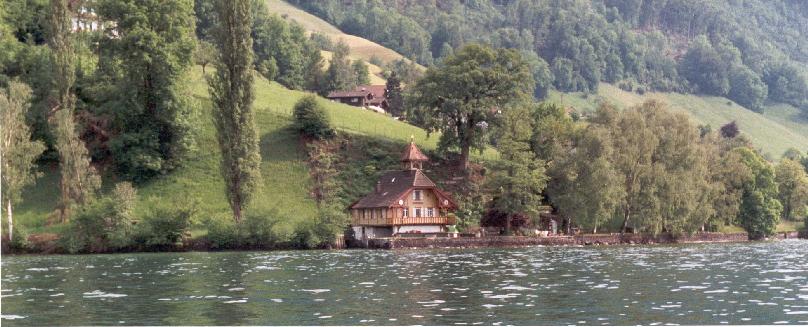
3. Emmental: Wasen-Luderenalp-Langnau. I doubt if rolling hills and flowery meadows get better than this. Try this in early May. Downside: sometimes on roads.
4. Schonbielhutte: Zermatt-Schonbielhutte-Zermatt. A close look at Matterhorn. Downside: return on the same route.
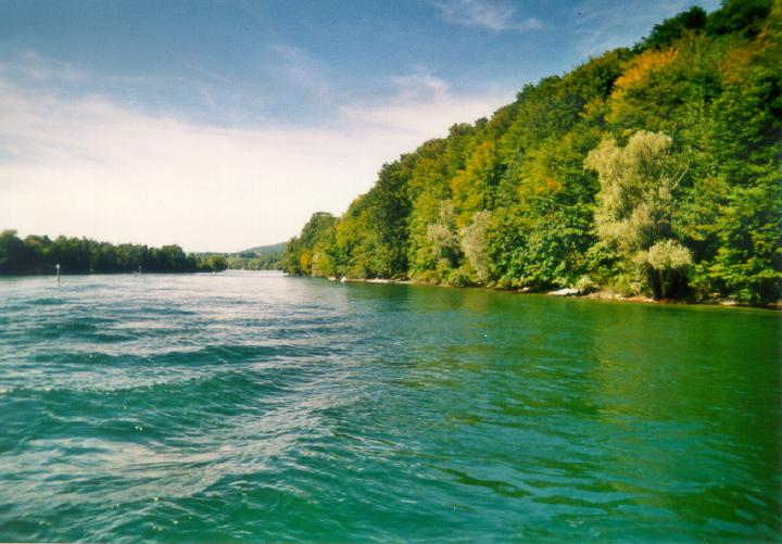
5. Jura: St. Cergue-Col du Marchairuz. Green.
Wandern und
Trekking in der Schweiz (In German): A very comprehensive website
on walks in Switzerland. Armed with an online translator, and the
search facility on the website, one can get loads of practical
information.
Activity Workshop: A nice collection of walks,
mostly in Swiss-German part.
MySwissAlps: Detailed website with lots of hiking suggestions and pics.
Myswitzerland: Official website of Switzerland Tourism. Check the
hiking link on the left.
Hiking
and walking in Central Switzerland,Zug,Zurich,Lucerne: This webpage
also has a small section on winter walking (at the bottom of the webpage).
SBB: Public transportation schedule (trains, post buses, boats ...).
Meteoswiss: Weather forecast.
Meteonews: Another weather forecast website.
Rega: An inexpensive insurance cover that provides helicopter rescue service. Highly recommended.
Walking Switzerland - the Swiss way: Marcia and Philip Liebermann. (publisher: The Mountaineers) Focuses on limited number of regions, but all walks I tried from this book turned out to be quite nice.
Walking in the Valais: Kev Reynolds. (publisher: Cicerone) Very large collection of walks in Valais. Nicely written and nice pics.
Valais West - Rother walking guide: Michael Waeber and Hans Steinbichler. (publisher: Rother) Provides detailed practical information. Has colored map for each walk.
Chemin des Cretes du Jura Suisse, Guide Pedestre. (publisher: Edition MPA Verlag, Topo Guide). In French. Provides detailed practical information. Has colored map for each walk. Covers the well-known trail on the ridges of Swiss Jura.
Alpes Vaudoises, Guide Pedestre. (publisher: Edition MPA Verlag, Topo Guide). In French. Provides detailed practical information. Has colored map for each walk. Covers Alps in Canton of Vaud.
Itineraires pedestres (publisher: Golden Pass Services) In French. Inexpensive booklet (3 CHF). Good walking suggestion on the mountains near the scenic railway line from Montreux to Zweissimmen.
Walking in the Alps: Kev Reynolds. (publisher: Cicerone) General walking guide for the whole of Alps. More of an overview than a detailed guide.
Hauts de Montreux (Itineraires pedestres), 1:25,000, has some walking suggestions (in French).
Oron-Vevey, 1:25,000. (Societe de Developpment D'Oron et Environs), has some walking suggestions (in French).
Lausanne-La Cote-St. Cergue-Vallee de Joux (Excursion Map), 1:60,000. Kuemmerly+Frey.
Pays D'Enhaut, 1:25,000. Kuemmerly+Frey, has some walking suggestions (in French).
Tourist offices in important hiking centers, e.g., Zermatt, Grindelwald, Gstaad etc., provide walking maps either free of charge or for a nominal charge.
Please send e-mail to Partha Dutta
to provide feedback about this page, or to suggest any related link.
[MY HOMEPAGE] [MY PHOTO ALBUMS] [ALBUMS FROM WALKS]